
San Luis Potosí, Mexico: In-Depth Guide to Living, Business, and Travel

When international researchers and travelers query 'Luis Mexico,' they are almost invariably seeking information about San Luis Potosí—a state and capital city located in Mexico's north-central Bajío plateau. Positioned at the geographical and logistic heart of the country, San Luis Potosí bridges colonial heritage with a modern manufacturing economy. This comprehensive guide details the state's geographic zones, historic significance, industrial expansion, real cost of living, current safety profile, and primary travel destinations ranging from the Altiplano to the subtropical Huasteca Potosina.
Understanding San Luis Potosí ('Luis Mexico')
The shorthand term 'Luis Mexico' points to the federal entity and municipality of San Luis Potosí. Located in north-central Mexico, the state is bordered by eight other Mexican states (Coahuila, Nuevo León, Tamaulipas, Veracruz, Hidalgo, Querétaro, Guanajuato, and Zacatecas), giving it a pivotal position in regional commerce and transit.
Understanding the destination requires distinguishing between the capital city—formally also named San Luis Potosí—and the expansive state that encompasses high desert plateaus, temperate mountain ranges, and dense tropical rainforests. While the capital functions as an industrial and academic hub, the surrounding regions offer distinct cultural landscapes and natural reserves.
Geographic Diversity: Altiplano to Huasteca Potosina
San Luis Potosí is divided into four distinct physiographic and cultural regions, each shaped by its elevation and local climate:
- Región Centro (Central Region): Anchored by the capital metropolitan area at an elevation of approximately 1,860 meters (6,100 feet) above sea level. The climate is semi-arid and temperate, characterized by mild winters, warm summers, and moderate annual rainfall.
- Región Altiplano (Northern Highland): An arid, elevated desert plateau extending northward toward Matehuala and the historic mining settlement of Real de Catorce. This region features stark desert flora, historic haciendas, and mountain valleys.
- Región Media (Middle Region): Centered around the agricultural city of Rioverde, this region transitions between the highlands and the eastern lowlands, noted for thermal springs such as Media Luna.
- Región Huasteca (Eastern Tropical Basin): Situated on the eastern slopes of the Sierra Madre Oriental, the Huasteca Potosina is a humid, subtropical zone renowned for limestone canyons, turquoise rivers, and dense vegetation. Major centers include Ciudad Valles, Xilitla, and Aquismón.
Colonial History and Revolutionary Heritage
The city of San Luis Potosí was officially founded in November 1592 following the discovery of rich gold and silver deposits at Cerro de San Pedro. It was named in honor of King Louis IX of France ('San Luis Rey') and given the title 'Potosí' in reference to the legendary silver wealth of Potosí in Upper Peru (modern-day Bolivia).
During the colonial era, the city developed into a key mining and administrative center along the Camino Real de Tierra Adentro (the Royal Inland Silver Road), a historical trade route designated as a UNESCO World Heritage site in 2010. The historic center features well-preserved baroque and neoclassical architecture, centered on landmark structures such as the Cathedral of San Luis Potosí, the Churrigueresque facade of the Templo del Carmen, and the Teatro de la Paz.
The state also holds an indispensable place in Mexican history and culture. In late 1910, Francisco I. Madero drafted the revolutionary manifesto known as the Plan de San Luis while detained in the city. The document denounced the reelection of dictator Porfirio Díaz, called for open insurrection on November 20, 1910, and initiated the Mexican Revolution.
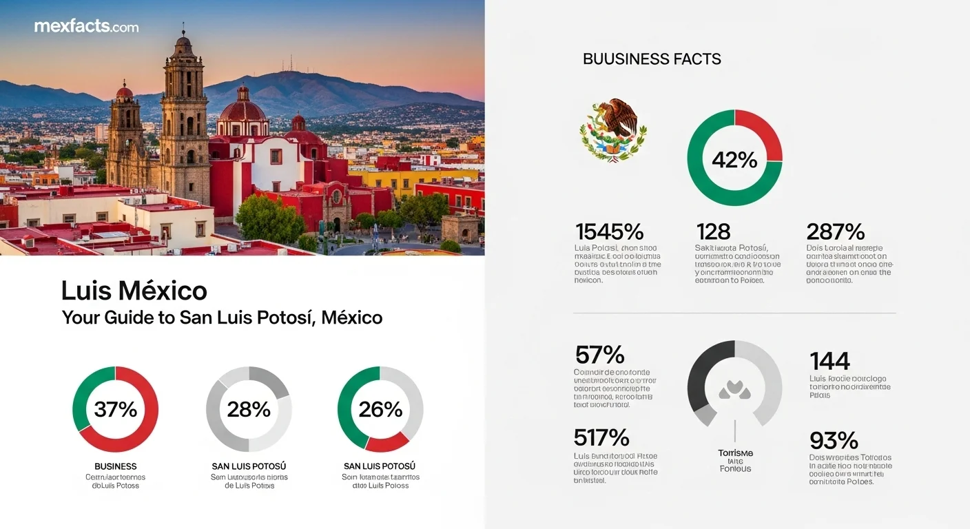
Economic Profile: The Bajío Manufacturing Corridor
Economically, San Luis Potosí represents one of the most productive nodes within the Bajío industrial basin. Its central geography places it within a 400-kilometer radius of Mexico's largest metropolitan economies: Mexico City, Guadalajara, and Monterrey.
The state's industrial infrastructure is tied directly to Federal Highway 57 (Carretera Federal 57), often described as the backbone of North American freight transit under USMCA. Major freight rail operators—including Canadian Pacific Kansas City (CPKC) and Ferromex—maintain heavy logistics links connecting the state directly to the Texas border and Mexican maritime ports on both the Pacific and Gulf coasts.
The cornerstone of local industry is automotive manufacturing. Major assembly plants operated by General Motors (established in Villa de Reyes in 2008) and BMW Group (opened in 2019) anchor an extensive ecosystem of Tier-1 and Tier-2 automotive component suppliers. The BMW facility in Villa de Reyes has committed major capital investments toward the assembly of the 'Neue Klasse' all-electric vehicle platform and next-generation high-voltage battery modules. Additional manufacturing sectors include aerospace components, industrial machinery, and metallurgical processing.
Cost of Living and Real Estate Landscape
For expatriates, digital professionals, and domestic transplants evaluating where to live in Mexico, San Luis Potosí provides a competitive cost-of-living structure compared to Mexico City, Monterrey, or saturated resort towns.
Housing costs vary by district but remain accessible across standard and upscale categories:
- Centro Histórico: Offers restored colonial townhouses and commercial conversions. While authentic, living in the center involves pedestrian zoning and historical building preservation guidelines.
- Las Lomas and Tangamanga: Traditional, affluent residential sectors west of downtown. Known for green corridors, proximity to Parque Tangamanga, and access to private bilingual schools and medical centers.
- Zona Industrial and Pozos: Rapidly developing suburban fraccionamientos (gated communities) south of the capital, accommodating engineering staff and manufacturing executives seeking short commute times.
- La Loma Club de Golf: The city's primary high-end luxury enclave, offering guarded residential developments, country club facilities, and golf course properties.
Typical mid-range monthly rents for modern two-to-three-bedroom houses or apartments range from 10,000 to 22,000 MXN ($550 to $1,200 USD), with luxury properties extending upward. Due to the high altitude and temperate climate, heating and full-time air conditioning are rarely needed in the capital, keeping domestic electricity and utility expenditures significantly lower than in tropical coastal areas.
Safety, Crime Rates, and Travel Advisories
Evaluating safety requires an objective examination of official advisories and regional patterns rather than broad generalizations.
The U.S. Department of State classifies the state of San Luis Potosí under Level 2: Exercise Increased Caution, due to crime. This advisory level matches the rating assigned to popular travel destinations such as Quintana Roo, Oaxaca, and Mexico City. The advisory cautions travelers regarding criminal activity in certain rural border sectors and transit corridors.
On the ground, safety profiles differ sharply by setting:
- Metropolitan Capital: Urban tourist areas—including the Centro Histórico, Tangamanga, and established commercial centers—maintain regular municipal and state police patrols. The primary safety concerns are property offenses, petty pickpocketing in crowded markets, and opportunistic vehicle break-ins. Standard urban precautions (avoiding poorly lit side streets late at night and utilizing registered rideshare platforms like Uber) are sufficient for safe daily navigation.
- Highways and Rural Transit: Travelers driving across the state should use toll roads (autopistas de cuota) rather than unmonitored secondary rural routes (carreteras libres), particularly when traveling near border areas with Zacatecas or southern Tamaulipas. Long-distance road journeys should be completed during daylight hours.
- Huasteca Potosina: The primary ecotourism corridors in the Huasteca (around Ciudad Valles, Xilitla, and Aquismón) receive steady domestic and international tourism, with municipal and tour operator security standards maintaining a stable visitor environment.
Transportation, Highlights, and Travel Planning
Access to San Luis Potosí is straightforward by air or land:
- Aviation: Ponciano Arriaga International Airport (SLP), located approximately 15 kilometers northeast of downtown, provides scheduled domestic flights to Mexico City, Monterrey, and Cancún, alongside international non-stop service to Texas hubs (Houston-IAH and Dallas/Fort Worth-DFW).
- Intercity Buses: The Terminal Terrestre Potosina (TTP) is one of Mexico's largest central bus terminals, offering first-class and executive coach services (such as ETN and Primera Plus) connecting to Querétaro, Guanajuato, Guadalajara, and Mexico City around the clock.
Primary Attractions and Excursions
- Parque Tangamanga I: Covering more than 400 hectares, Tangamanga I is one of Mexico's largest urban municipal parks—larger than Chapultepec in usable recreational surface. It houses outdoor amphitheaters, athletic complexes, planetariums, and artificial lakes.
- Real de Catorce: Located in the northern Altiplano, this former 18th-century silver mining town sits at 2,750 meters elevation and is entered via the 2.3-kilometer Ogarrio Tunnel. It is a designated Pueblo Mágico popular for historic architecture, high desert horse trails, and the sacred Wirikuta desert reserve.
- Huasteca Potosina Highlights: Located approximately four hours east of the capital by car across the Sierra Madre Oriental, key sites include:
- Las Pozas (Edward James Surrealist Garden) in Xilitla: Concrete surrealist sculptures integrated into subtropical rainforest.
- Cascada de Tamul: A 105-meter waterfall on the Tampaón River, accessible via traditional wooden panga boats from Tanchachín or La Morena.
- Sótano de las Golondrinas: One of the world's deepest open-air karst pit caves (over 370 meters free drop), inhabited by thousands of green parakeets and white-collared swifts.
Frequently Asked Questions
- Is 'Luis Mexico' the official name of the destination?
- No. 'Luis Mexico' is a search query abbreviation for the state or capital city of San Luis Potosí. The formal name is Estado Libre y Soberano de San Luis Potosí.
- How far is the Huasteca Potosina from San Luis Potosí City?
- The drive from San Luis Potosí City to Ciudad Valles (the hub of the Huasteca) takes approximately 3.5 to 4.5 hours by car via Federal Highway 70, crossing the Sierra Madre Oriental.
- What is the best time of year to visit San Luis Potosí?
- The capital and the Altiplano are best visited from October to April when temperatures are mild and rainfall is minimal. For the Huasteca Potosina, the optimal travel season runs from November through April, when river water remains clear and turquoise, avoiding summer storm runoff.
Expert Reviews
Robert Jensen ⭐⭐⭐⭐⭐
My family and I moved to SLP two years ago for my job in the auto industry, and this article nails it. The cost of living is exactly as described, which allows us a quality of life we couldn't have back home. The Zona Industrial area is full of new, safe communities. My only advice is to learn some Spanish—it makes a world of difference!
Sofia Carrera ⭐⭐⭐⭐⭐
I used this guide to plan a trip to the Huasteca Potosina last summer. The description of the turquoise rivers doesn't do it justice! It's pure magic. The safety advice was practical and helped us feel secure. We stayed in the city for a few days first and felt perfectly safe exploring the historic center.
Kenji Tanaka ⭐⭐⭐⭐
As an investor looking at the Bajío region, this overview was incredibly helpful. It connected the dots between the nearshoring trend and the real estate opportunities on the ground. The data is presented clearly. A great starting point for anyone considering doing business in 'Luis Mexico'.