
Cancun Ocean Guide: Water Conditions, Swimming Safety, and Coastal Geography

Cancun sits directly on the Mexican Caribbean, an arm of the western Atlantic Ocean renowned for electric turquoise waters and powdery white-sand shorelines. While travelers often speak of the "Cancun ocean," understanding the coastal geography is essential for choosing the right beach and swimming safely. The 22-kilometer Cancun Hotel Zone divides into two distinct aquatic environments: the calm, shallow waters of the north-facing bay sheltered by Isla Mujeres, and the open-sea, wave-swept beaches of the eastern shore. This comprehensive guide details ocean temperatures, beach flag safety systems, the geological reasons behind Cancun's distinctive water color and cool sands, seasonal sargassum cycles, and the delicate marine ecology of the nearby Mesoamerican Barrier Reef.
What Ocean Is Cancun On? Geography and Water Science
Geographically, Cancun is located on the northeastern tip of the Yucatan Peninsula in the state of Quintana Roo, bordering the Caribbean Sea. While travelers routinely refer to it as the "Cancun ocean," the Caribbean Sea is a marginal sea of the western Atlantic Ocean basin. Unlike Mexico's Pacific coastline, which features cooler, deep oceanic trenches and powerful tidal breaks, the Mexican Caribbean is defined by warm tropical currents, relatively low tidal variance, and extensive coral shelf formations.
When the Mexican federal agency FONATUR (Fondo Nacional de Fomento al Turismo) began surveying the Yucatan coastline in the late 1960s, computer modeling and environmental surveys identified this slender sand spit—then separated from the mainland by mangrove lagoons—as the premier site to launch a world-class tourism corridor. Today, the 22-kilometer sandbar forms Cancun's famous Hotel Zone (Zona Hotelera), flanked by the open Caribbean to the east and the brackish Nichupté Lagoon system to the west.
Why the Water Is Turquoise and the Sand Stays Cool
The distinctive luminescent color of the water in Cancun is not an optical illusion; it is the result of natural physics and unique regional geology. The Yucatan Peninsula has no major surface rivers draining muddy runoff or silt into the sea. Instead, the entire peninsula rests on a vast porous limestone platform where rainwater filters directly into subterranean river networks and cenotes. Because there is virtually no terrestrial sediment washing into the coastal shallows, the sea maintains remarkable clarity.
When bright sunlight penetrates the clear, shallow water, the water molecules absorb red and yellow wavelengths of light while scattering shorter blue and green wavelengths. The sea floor—composed of bright white carbonate sand—acts like a giant underwater reflector, bouncing the scattered turquoise light back toward the surface. Furthermore, Cancun's white sand is biogenic, formed over millennia from crushed coral, mollusk shells, and calcified green algae (such as Halimeda), rather than quartz or silica. Because carbonate minerals reflect solar heat rather than absorbing it, the sand remains cool and comfortable to walk on even during the midday sun.
North vs. East Coast: Why Cancun's Waves Differ by Zone
The shape of Cancun's Hotel Zone resembles a giant number "7," which divides its beaches into two distinct micro-climates for swimming. Understanding this difference is critical when selecting a base or booking all-inclusive resort packages along the coast.
The North-Facing Shore (Kilometers 1 to 9): From Playa Las Perlas to Playa Linda, Playa Langosta, and Playa Tortugas, the coastline faces north across the Bahia de Mujeres. This body of water is sheltered from open Caribbean ocean swells by Isla Mujeres, situated roughly 13 kilometers offshore. As a result, the water here is exceptionally calm, shallow, and pool-like with minimal undertow. It is the favored stretch for families traveling with young children, paddleboarders, and nervous swimmers looking for peaceful wading conditions.
The East-Facing Shore (Kilometers 9.5 to 20+): Beginning just past Punta Cancun near Punta Nizuc—spanning popular spots like Playa Gaviota Azul, Playa Chac Mool, Playa Marlin, Playa Ballenas, and Playa Delfines—the shoreline faces eastward directly toward the open Caribbean Sea. Here, persistent trade winds generate continuous rolling waves, dynamic surf breaks, and strong undertows. While these beaches offer spectacular vistas and lively wave action for bodysurfing, they require vigilance and strong swimming skills, especially when winds pick up.
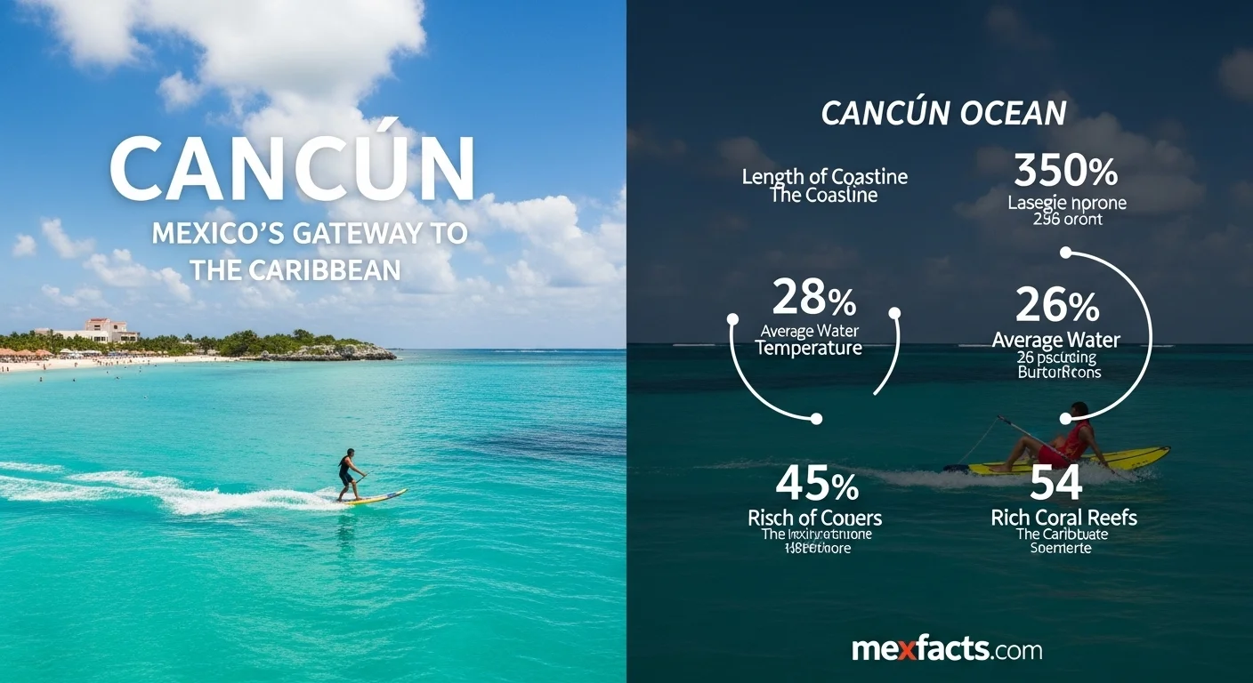
Swimming Conditions, Flags, and Water Temperatures
Because open-sea conditions along Cancun's eastern coast can change rapidly with incoming tides and offshore winds, municipal lifeguards (guardavidas) and resort beach patrols maintain a rigorous flag warning system. Swimmers must understand these signals before entering the water, particularly when evaluating whether it is safe to swim or if local conditions require extra caution.
Understanding Cancun's Beach Flag Warning System
- Green Flag (Bandera Verde): Calm conditions. Swimming is safe, with mild currents and low wave activity. Most common along the northern bay beaches.
- Yellow Flag (Bandera Amarilla): Use caution. Moderate waves or active undertows are present. Swimming is permitted, but children and weak swimmers should remain close to shore.
- Red Flag (Bandera Roja): Dangerous conditions. Strong rip currents, high breakers, or severe undertows. Entering deep water is strictly prohibited, and wading should be approached with extreme care.
- Black Flag (Bandera Negra): Beach closed. Complete swimming ban due to severe weather, storm surge, or extreme rip hazards.
- Purple Flag (Bandera Morada): Marine life hazard. Indicates the presence of jellyfish, sea stingers, or other hazardous sea life near the shoreline.
Rip currents are the primary safety risk on east-facing beaches. If caught in a rip current, never fight against the pull toward the open sea. Swim parallel to the shoreline until you are clear of the current's funnel, then angle back toward the beach using incoming wave crests.
Seasonal Water Temperatures and Underwater Visibility
The Caribbean Sea around Cancun remains comfortably warm throughout the year, rarely dropping below 26°C (79°F) even in the depths of winter. During the peak summer months from June through October, surface temperatures consistently climb to 29°C to 30°C (84°F to 86°F), creating bathwater-like conditions. Underwater visibility across the reef flats typically ranges from 20 to 30 meters (65 to 100 feet), though choppy sea states following winter cold fronts (known locally as nortes) can temporarily stir up nearshore suspended sand.
The Mesoamerican Reef, Marine Life, and Sargassum
Cancun's waters form the northern anchor of the Mesoamerican Barrier Reef System (SAM), the second-largest barrier reef system in the world, extending southward along Belize, Guatemala, and Honduras. This biological barrier protects the coastline from extreme storm surges and supports a vibrant marine ecosystem comprising hundreds of species of hard and soft corals, green sea turtles, spotted eagle rays, nurse sharks, and tropical reef fish.
The Mesoamerican Barrier Reef System
Just off the coast of Punta Nizuc at the southern tip of Cancun, the reef marks the beginning of protected marine park sanctuaries. Farther south toward Puerto Morelos and along the route connecting Cancun beaches with the Riviera Maya, the barrier reef forms sheltered lagoons teeming with biodiversity. Responsible operators mandate the use of certified biodegradable, mineral-based sunscreens (zinc oxide and titanium dioxide) or UV rashguards, as chemical oxybenzone and octinoxate compounds damage delicate coral polyps and accelerate bleaching.
Sargassum Seaweed: Seasons, Tracking, and Beach Cleaning
In recent years, the wider Caribbean basin has experienced influxes of pelagic sargassum (Sargassum fluitans and Sargassum natans), a floating brown macroalga originating in the equatorial Atlantic. Sargassum influxes generally occur between April and September, carried toward coastal waters by Caribbean surface currents and easterly trade winds.
When sargassum washes ashore and accumulates, it decomposes in the sun, generating a sulfurous odor and tinting the nearshore shallows brown. In response, municipal authorities, federal agencies, and beachfront properties deploy daily cleaning crews, offshore barrier booms, and specialized harvest vessels coordinated by the Mexican Secretariat of the Navy (SEMAR). Travelers tracking ocean clarity can consult daily monitoring maps provided by the Red de Monitoreo del Sargazo de Quintana Roo. North-facing beaches, as well as the western shores of nearby Isla Mujeres and Cozumel, often remain naturally shielded from heavy sargassum landings due to prevailing eastward ocean currents.
Coastal Planning: Excursions and Responsible Travel
To experience the full spectrum of the Mexican Caribbean, visitors should look beyond a single stretch of sand. The regional transportation network makes it straightforward to explore both sheltered family lagoons and open-sea snorkeling sanctuaries along the corridor linking Cancun & Tulum.
Exploring Beyond Cancun: Coastal Gateways
From the mainland docks at Puerto Juárez, high-speed passenger ferries reach Isla Mujeres in less than 30 minutes. Playa Norte on Isla Mujeres is widely regarded as one of the finest beaches in the hemisphere, characterized by waist-deep, crystal-clear water with virtually no surf. For snorkelers, the calm coastal waters of Puerto Morelos National Marine Park offer access to living coral formations just 400 meters offshore.
Further down the coast, travelers exploring luxury enclaves in Playa Mujeres or staying at premier coastal resorts like Finest Playa Mujeres or beachfront Hotel Zone properties such as Hyatt Zilara Cancun will find distinct seaside settings tailored to peaceful relaxation or active water sports.
Best Practices for Sustainable Marine Tourism
Preserving the health of the Caribbean marine ecosystem requires conscious traveler habits. When swimming, snorkeling, or engaging in boat tours, adhere to these environmental guidelines:
- Never Touch or Stand on Coral: Coral reefs are fragile living colonies. Standing on or kicking coral heads with fins breaks decades of growth and leaves them vulnerable to disease.
- Observe Wildlife from a Respectful Distance: Maintain at least three meters of distance from sea turtles, rays, and dolphins. Never pursue or attempt to handle marine animals.
- Switch to Sun Protection Clothing: Long-sleeve UPF 50+ rashguards reduce chemical sunscreen runoff entirely, providing better sun defense while keeping nearshore waters pristine.
- Support Sustainable Infrastructure: Choose accommodations with verified tertiary wastewater treatment and environmental certifications. As documented by industry trackers like the Mexico Now portal, state and private infrastructure investments across Quintana Roo are increasingly prioritizing sustainable water management to protect the Mesoamerican Reef.
By understanding Cancun's coastal geography, recognizing ocean safety flags, and practicing responsible reef etiquette, travelers can fully enjoy the extraordinary natural beauty of Mexico's turquoise Caribbean waters while contributing to their preservation for future generations.
Expert Reviews
Laura Chen, Traveler from Canada ⭐⭐⭐⭐⭐
This article was a lifesaver! We were planning our first family trip to Cancun and wanted to understand the area beyond just our resort. The explanation of the Riviera Maya and the different types of hotels helped us choose the perfect spot. It felt like getting advice from a local. Thank you!
Robert M., Investor ⭐⭐⭐⭐
A very well-rounded and honest look at the Cancun tourism landscape. I appreciate that it didn't shy away from the environmental challenges like sargassum and reef health. This balanced perspective is crucial for making sound investment decisions in the region. The data was presented clearly and was very useful.
Carlos Gutiérrez, University Student ⭐⭐⭐⭐⭐
Excellent resource for my tourism studies paper. I loved how it mixed the history of Cancun's development with current statistics and future outlook. It’s hard to find content that is both engaging to read and packed with factual information. The personal tone made it so much more interesting than a textbook.