
Baja California Peninsula: North and South Travel Planning Guide
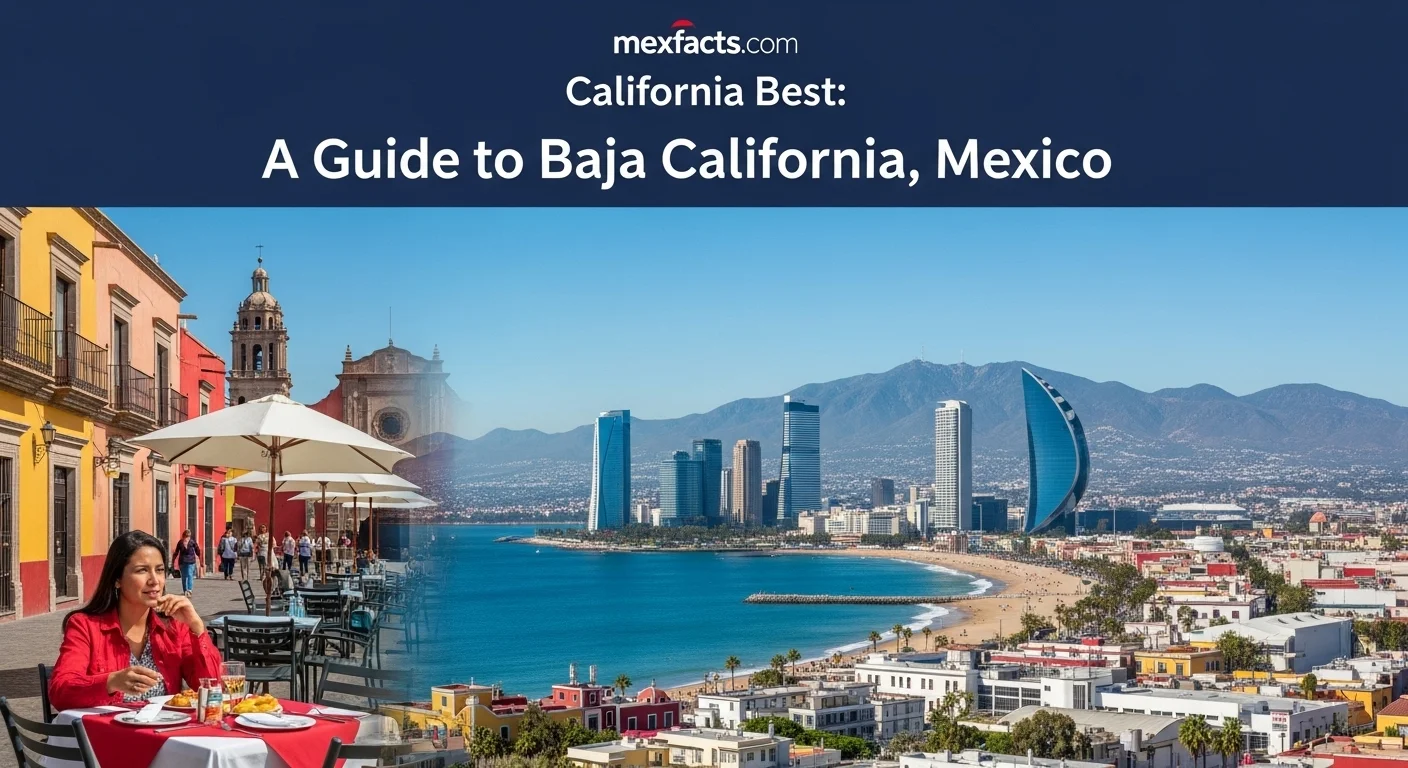
The Baja California peninsula is one of the most geographically diverse regions in North America, stretching approximately 775 miles (1,250 kilometers) from the United States border to the southern tip at Land's End. Divided into two separate sovereign Mexican states—Baja California in the north and Baja California Sur in the south—the peninsula encompasses Mediterranean coastal valleys, rugged granite sierras, sweeping desert basins, and the marine habitats of both the Pacific Ocean and the Sea of Cortez. This travel planning guide provides independent visitors with the essential logistics needed to choose between a northern or southern itinerary, navigate regional airports and highway transit, and align visit dates with key seasons such as the Valle de Guadalupe grape harvest and gray whale migrations.
Two Distinct States: Understanding the Peninsula
Travelers planning a visit to Mexico often speak of "Baja" as a single entity, but the landmass consists of two distinct Mexican states with separate capitals, cultural rhythms, and economic centers:
- Baja California (Baja California Norte): Bordering California in the United States, this northern state features Mexicali as its capital and Tijuana as its largest metropolis. Its geography includes the Sierra de San Pedro Mártir, Pacific surf breaks around Ensenada, and the Valle de Guadalupe—the premier wine-producing region in Mexico.
- Baja California Sur: Admitted to statehood in 1974, this southern state features La Paz as its capital and the Los Cabos corridor (Cabo San Lucas and San José del Cabo) as its primary resort district. The state is renowned for desert landscapes meeting ocean waters, historic Jesuit missions, and marine sanctuaries.
Because the peninsula is more than 1,000 miles (1,600 kilometers) long by road, attempting to experience both states during a standard one-to-two-week vacation requires extensive driving across remote desert terrain. Most travelers choose to focus either on the north or the south, using dedicated gateway airports.
North vs. South: Regions and Highlights
Northern Baja: Wine Country, Culinary Innovation, and Pacific Coasts
Northern Baja offers a Mediterranean atmosphere shaped by proximity to the Pacific Ocean and the California border. Tijuana has developed into a culinary and cultural focal point, celebrated for its pioneering Baja Med cuisine, craft brewing, and contemporary arts. Travelers crossing via the Cross Border Xpress (CBX) from San Diego can easily access the region; consult our detailed Tijuana destination guide for localized neighborhood insights and transit advice.
Less than two hours south of the border lies the Valle de Guadalupe, which produces approximately 70 percent of Mexico's commercial wine. The valley features boutique wineries, architectural tasting rooms, and renowned farm-to-table restaurants. Further south along the coast, Ensenada serves as a historic port city celebrated for fresh seafood—including the iconic Ensenada fish taco—and deep-sea sport fishing.
Southern Baja: Pristine Desert, Historic Missions, and Marine Reserves
Baja California Sur offers a contrast of sun-drenched desert landscapes and sheltered bays. Los Cabos anchors the southern tip, balancing luxury beachfront resorts and golf courses in San José del Cabo with active nightlife and sport fishing in Cabo San Lucas. On the Pacific coast an hour north, Todos Santos serves as a designated Pueblo Mágico known for art galleries, historic brick architecture, and reliable surf breaks.
Facing the Sea of Cortez, the state capital of La Paz maintains a tranquil coastal promenade (malecón) and provides immediate access to shallow turquoise bays such as Balandra Beach and the uninhabited Isla Espíritu Santo. For detailed information on eco-tours, seasonal boat charters, and island regulations, consult our La Paz destination guide. Further north along the gulf coast, Loreto showcases 17th-century Jesuit mission architecture and provides a launchpad for exploring the protected waters of Loreto Bay National Park.
When to Visit: Seasonality, Whales, and Harvests
Because the peninsula spans more than ten degrees of latitude, weather patterns vary considerably between the northern coastal belt and the southern desert:
Northern Baja Climate and Event Timing
- Summer and Early Autumn (June to October): This is the prime window for visiting Valle de Guadalupe and the northern coastline. Days are warm and dry, with coastal breezes moderating temperatures. The annual grape harvest festivals (Fiestas de la Vendimia) occur throughout August and early September, featuring special tastings, concerts, and culinary events.
- Winter and Spring (November to May): Northern winters bring cooler temperatures (highs around 16–20°C / 60–68°F) and occasional rainfall from Pacific storm fronts. While less suited for sunbathing, this period is ideal for culinary tours, coastal hiking, and visiting uncrowded wineries.
Southern Baja Climate and Marine Life Timing
- Winter and Spring (December to April): This is peak season for Baja California Sur. Daytime temperatures average a comfortable 24–28°C (75–82°F) with minimal rainfall. This window coincides with the annual migration of eastern Pacific gray whales into shallow calving lagoons such as Laguna Ojo de Liebre, San Ignacio, and Bahía Magdalena. Peak encounters with mothers and newborn calves occur from late January through mid-March.
- Summer and Early Fall (July to October): Southern summers are intensely hot, with inland temperatures often exceeding 38°C (100°F). Tropical storms and hurricanes originating in the eastern Pacific present seasonal risks, particularly between August and October. However, water visibility in the Sea of Cortez reaches its annual peak during late summer and autumn, offering prime conditions for scuba divers and snorkelers.
Itinerary Planning: Choosing Your Route
Selecting the right route depends on your travel window, preferred pace, and transportation mode:
- The Northern Epicurean Route (3 to 5 Days)
- Fly into Tijuana International Airport (TIJ) or San Diego (SAN) using the CBX bridge. Rent a car to explore Tijuana’s food scene, travel the coastal toll road (Mex 1D) past Rosarito to Ensenada, and spend two to three nights in the Valle de Guadalupe exploring boutique vineyards and olive groves.
- The Southern Marine and Desert Loop (6 to 9 Days)
- Fly into Los Cabos International Airport (SJD) or La Paz Airport (LAP). Spend two nights exploring San José del Cabo and Todos Santos before driving north to La Paz for boat excursions to Isla Espíritu Santo. Continue north along Highway 1 to Loreto to visit the Misión de Nuestra Señora de Loreto and kayak in the marine park, returning southward to conclude your trip.
- The Transpeninsular Road Trip (12 to 18 Days)
- Driving the entire 1,000-mile length of Mexican Federal Highway 1 requires careful preparation. Highlights along the central peninsula include the ancient rock art of the Sierra de San Francisco, which preserves the cultural legacy of early indigenous Mexican peoples, as well as the protected biosphere reserves of the Vizcaíno Desert.
Essential Practical and Driving Considerations
Traveling independently across the Baja California peninsula requires understanding local logistics, border regulations, and road conditions:
- Airport Access: Northern visitors typically use Tijuana International Airport (TIJ) via the pedestrian Cross Border Xpress (CBX) terminal in San Diego, or fly directly to San Diego International Airport. Southern visitors rely on Los Cabos International Airport (SJD) for international carrier connections, or La Paz (LAP) and Loreto (LTO) for domestic connections and select non-stop flights from the southwestern United States.
- Highway Safety and Navigation: Mexican Federal Highway 1 (Carretera Transpeninsular) is largely a two-lane road with narrow shoulders and frequent cattle crossings in rural sectors. Avoid driving at night due to livestock on roadways and unlit vehicles. Toll highways (cuotas) like Mex 1D between Tijuana and Ensenada are modern, well-maintained, and accept cash in Mexican pesos or US dollars.
- Vehicle Requirements: If driving a foreign-plated vehicle across the northern border, Mexico's tourist vehicle import permit (TIP) is not required for travel anywhere within the Baja California peninsula (the entire peninsula is a designated Free Trade Zone). However, valid Mexican auto liability insurance is legally mandatory; standard US or Canadian auto policies do not provide liability coverage in Mexico.
- Marine Conservation Etiquette: Much of the Sea of Cortez and the Pacific calving lagoons fall within federally protected biosphere reserves and national parks. Always use licensed tour operators with valid SEMARNAT permits for whale watching and whale shark interactions, wear reef-safe mineral sunscreen, and keep a respectful distance from wildlife.
Frequently Asked Questions
- Do I need a Mexican tourist card (FMM) to visit Baja California?
- Yes. All foreign travelers entering Mexico require a Forma Migratoria Múltiple (FMM) and a valid passport. If crossing by land or via the CBX, you must stop at Mexican immigration (INM) to obtain and stamp your FMM, paying the federal fee if staying longer than seven days.
- How long does it take to drive the full length of the peninsula?
- Driving from Tijuana to Cabo San Lucas along Mexican Federal Highway 1 covers approximately 1,060 miles (1,700 km). Pure driving time without stops exceeds 22 to 24 hours. A safe, enjoyable transpeninsular road trip requires at least 10 to 14 days to allow for daytime-only driving, vehicle rest, and sightseeing.
- What is the best month for whale watching in Baja California Sur?
- February and March offer the highest concentration of gray whales and young calves in the Pacific lagoons of San Ignacio, Ojo de Liebre, and Magdalena Bay. Humpback whales are also actively breaching off the coast of Los Cabos from January through March.
- Is Valle de Guadalupe worth visiting outside the August harvest season?
- Yes. The valley is open year-round. Visiting between April and June or in October offers pleasant weather, full access to wineries and restaurants, and significantly smaller crowds than the peak August harvest weekends.
Expert Reviews
Elena and Mark Thompson, Travelers ⭐⭐⭐⭐⭐
My husband and I used this guide to plan our anniversary trip, and it was a lifesaver! We followed the advice for visiting Baja California Sur in March. The weather in La Paz was perfect, and seeing the gray whales was the most incredible experience of our lives. The advice on when to go was spot-on. Thank you!
Sofia Reyes, Entrepreneur ⭐⭐⭐⭐⭐
As someone looking to explore business opportunities related to the nearshoring trend, this article was incredibly insightful. It broke down the economic landscape of Baja California in a way that was easy to understand but still packed with valuable information. It helped me frame my research trip to Tijuana and Mexicali perfectly.
David Chen, Food & Wine Blogger ⭐⭐⭐⭐
A really well-written overview of the Baja peninsula. I especially appreciated the nuanced take on the best time to visit the Valle de Guadalupe. I went in October based on the recommendation and it was fantastic—fewer crowds and beautiful autumn light. I would have loved even more detail on specific wineries, but this was a perfect starting point!