
Valle de Bravo, Mexico: Complete Travel, Lake, and Planning Guide
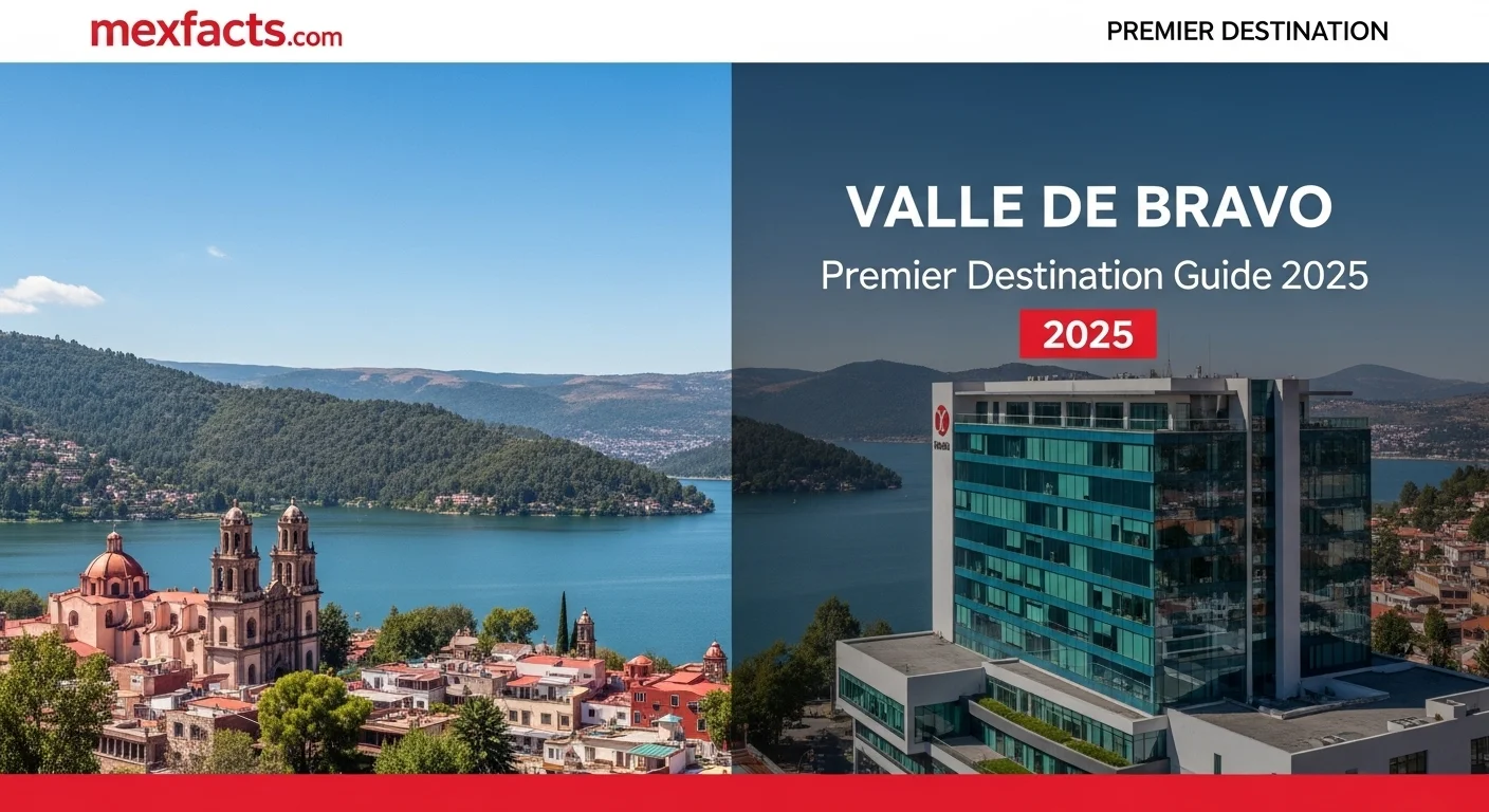
Valle de Bravo is one of central Mexico's most prominent lakeside destinations, located approximately 140 kilometers (87 miles) west-southwest of Mexico City in the State of Mexico. Designated a Pueblo Mágico in 2005, the town combines a preserved 16th-century colonial historic center with the pine-forested residential enclaves of Avándaro and the expansive waters of Lake Avándaro (Presa Miguel Alemán). Renowned internationally as a premier site for paragliding and hang gliding at El Peñón, Valle de Bravo also serves as a gateway to the wintering monarch butterfly colonies at Piedra Herrada. This guide provides comprehensive, verified details on navigating the town and lake, seasonal weather patterns, security considerations, local economic dynamics, and practical travel logistics for planning an independent stay.
Table of Contents
- Geography, History, and Regional Setting
- Exploring El Centro and Avándaro
- Outdoor Adventures: Flying, Boating, and Monarch Butterflies
- Best Time to Visit and Seasonal Climate
- Lake Avándaro and Environmental Considerations
- Safety, Security, and Highway Travel
- Demographics and Local Economy
- Real Estate, Second Homes, and Living in Valle
- Frequently Asked Questions
Geography, History, and Regional Setting
Valle de Bravo sits at an elevation of approximately 1,830 meters (6,000 feet) above sea level in the Trans-Mexican Volcanic Belt. Bordered by forested mountain ridges and temperate cloud forests, the municipality offers a noticeably cooler, fresher alpine climate than lowland weekend retreats such as Cuernavaca Mexico, making it a primary recreational getaway for residents of the Mexico City metropolitan area and Toluca.
The area was originally settled by the indigenous Matlatzinca people before Franciscan friar San Francisco de Asís established a mission here in 1530 under the name San Francisco del Valle de Temascaltepec. In the 19th century, the town was renamed to honor General Nicolás Bravo, a hero of the Mexican War of Independence. Valle de Bravo received Mexico's federal "Pueblo Mágico" designation in 2005 in recognition of its well-preserved colonial architecture, tile-roofed vernacular streetscapes, and cultural heritage.
The modern geography of the valley was profoundly altered between 1938 and 1947 with the construction of the Miguel Alemán Dam on the Malacatepec and Tilostoc river systems. The resulting reservoir—officially the Presa Miguel Alemán, though universally called Lake Avándaro—initially served hydroelectric purposes before evolving into a vital reservoir for the Cutzamala Water System and the anchor for regional water sports and leisure tourism.
Exploring El Centro and Avándaro
Visitors to Valle de Bravo typically divide their time between two distinct areas: the historic town center (El Centro) and the wooded residential enclave of Avándaro across the southern arm of the lake.
El Centro (Historic Downtown)
El Centro is characterized by steep, cobbled lanes lined with whitewashed stucco buildings, timber porticos, and terracotta roofs. At its heart lies the Main Plaza (Zócalo), shaded by mature trees and anchored by the Parroquia de San Francisco de Asís, whose bell towers and colonial nave date back through centuries of reconstruction. Just blocks away, the municipal market (Mercado Municipal) and nearby artisan plazas display regional pottery, handwoven textiles, and local culinary staples such as trout dishes, cecina, and artisanal fruit liqueurs. The town's lakeshore edge terminates at the municipal dock (El Embarcadero), where boat operators offer lake cruises and watersport charters.
Avándaro
Located five kilometers south of El Centro, Avándaro is a tranquil, pine-cloaked neighborhood historically developed around private estates, golf clubs, and equestrian facilities. It has a commercial hub centered on Avenida Rosales, populated by specialty bakeries, organic cafes, design boutiques, and upscale dining. Avándaro is also home to the Cascada Velo de Novia (Bridal Veil Falls), a protected natural park featuring walking trails through pine-oak forests that lead to an impressive 35-meter cascade fed by mountain runoff.
Outdoor Adventures: Flying, Boating, and Monarch Butterflies
Valle de Bravo is recognized nationally and internationally as a hub for aerial, nautical, and terrestrial outdoor sports.
- Paragliding and Hang Gliding: The launch ridge at El Peñón, situated approximately 20 kilometers west in neighboring Temascaltepec municipality, offers reliable thermal lift and atmospheric stability. El Peñón frequently hosts world-championship hang gliding and paragliding competitions (including legs of the Paragliding World Cup and the annual Monarca Open). Tandem paragliding flights for visitors typically launch from either El Peñón or the Monte Alto State Reserve, landing safely on the shores of Lake Avándaro.
- Lake Sports and Sailing: The 21-square-kilometer reservoir accommodates dinghy sailing, windsurfing, stand-up paddleboarding, and water skiing. The local sailing club (Club de Vela Santa María) and several private marinas organize regattas during the dry season. Kayaks and licensed motorboats can be hired at the town docks for leisure cruising.
- Monarch Butterfly Biosphere Reserve: From mid-November through March, millions of eastern monarch butterflies migrate from North America to overwinter in the high-altitude oyamel fir forests of the Trans-Mexican Volcanic Belt. The nearest public sanctuary to Valle de Bravo is Piedra Herrada, located roughly 25 kilometers northeast along the highway toward Toluca. Visitors can hike or hire guided horses up the forested mountain trails to witness dense colonies clustering on evergreen branches.
- Monte Alto State Park: Overlooking the town from an extinct volcanic dome, Monte Alto encompasses more than 600 hectares of oak and pine forest crisscrossed by dedicated trails for mountain biking, trail running, and horseback riding.

Best Time to Visit and Seasonal Climate
Sitting at high elevation, Valle de Bravo experiences a subtropical highland climate (Köppen Cwb) with distinct dry and wet seasons. Daytime temperatures remain pleasant year-round, typically hovering between 20°C and 26°C (68°F to 79°F), while nighttime temperatures can drop significantly, particularly from December to February.
- Dry Season (November to April): This is the prime period for general travel, outdoor exploration, and paragliding. Skies are consistently clear, lake winds are steady, and rainfall is minimal. The peak monarch butterfly viewing window runs from December through February, when colony density at Piedra Herrada is highest. Pack layers, as evening temperatures regularly fall to 5°C to 9°C (41°F to 48°F).
- Warm Spring Transition (April to May): April and May are the warmest months of the year, with daytime highs occasionally reaching 28°C (82°F). This period is especially favored for boating and water activities prior to the onset of the summer rains.
- Rainy Season (June to October): Characterized by lush green vegetation, full waterfalls, and mild temperatures. Rain typically falls in concentrated afternoon or evening downpours, leaving mornings clear for hiking and boating. September is generally the wettest month. Tourism crowds are significantly lower during weekdays in this season, offering quieter lodging rates.
Lake Avándaro and Environmental Considerations
Lake Avándaro is not only a tourist attraction; it is an active water management reservoir integrated into the Cutzamala System, supplying potable water to millions of residents in the Mexico City metropolitan zone and Toluca. Consequently, the lake's surface elevation experiences seasonal and multi-year fluctuations depending on regional rainfall, watershed management, and municipal water withdrawals.
Extended drought patterns across central Mexico have underscored the fragility of the reservoir ecosystem. Citizen initiatives, local environmental NGOs (such as Sé Valle and ProValle), and municipal water authorities monitor water quality and advocate for sustainable watershed management, wastewater treatment plant upgrades, and regulated boat engine emissions. Travelers and property owners are encouraged to observe water conservation protocols and support tour operators committed to leave-no-trace practices on both the water and trails.
Safety, Security, and Highway Travel
Valle de Bravo has historically maintained a reputation as one of the safer municipalities in the State of Mexico, largely due to its high-profile resident base, robust tourism infrastructure, and strong municipal and state police presence in El Centro, Avándaro, and the primary recreation corridors.
While violent crime targeting tourists is rare in Valle de Bravo itself, the broader State of Mexico features regional security variations. Travelers should observe standard travel precautions:
- Highway Navigation: If driving from Mexico City, the most secure and direct route is the Toluca-Zitácuaro toll highway (Carretera Federal 15D / Autopista Toluca-Valle de Bravo via Monumento). Avoid navigating secondary rural state roads at night. Plan travel to arrive before dusk, particularly when driving through the mountain passes of the Nevado de Toluca region.
- Town Security: Walking within El Centro, Avándaro, and well-lit commercial streets is generally safe during the day and evening. As in any popular tourist hub, safeguard personal belongings in busy markets, secure valuables in parked vehicles, and use designated private parking lots (estacionamientos) rather than leaving vehicles on congested, narrow cobblestone streets overnight.
- Water Safety: Always use certified personal flotation devices when boating or kayaking, and only contract registered tandem flight instructors at El Peñón who hold certified licenses from aeronautical federations (such as the USHPA or the Federación Mexicana de Vuelo Libre).
Demographics and Local Economy
According to the 2020 National Census conducted by the National Institute of Statistics and Geography (INEGI), the municipality of Valle de Bravo has a permanent population of approximately 61,511 inhabitants. However, this figure does not reflect the significant "floating population" that arrives each Friday through Sunday.
The municipal economy is heavily skewed toward the tertiary (services, hospitality, and commerce) sector, which accounts for the vast majority of local economic units and formal employment. Tourism supports hundreds of small businesses, boutique hotels, artisan workshops, and construction trades. The heavy presence of second homes creates a substantial demand for property maintenance, landscaping, domestic services, and specialized architectural design.
Real Estate, Second Homes, and Living in Valle
For decades, Valle de Bravo has represented one of central Mexico's most prestigious second-home and lifestyle property markets. High-net-worth families from Mexico City, domestic executives, and an increasing contingent of remote workers and expatriates maintain homes here. For individuals evaluating where to live in Mexico, Valle de Bravo offers a unique combination of mountain scenery, proximity to the capital, and a well-established leisure infrastructure.
The real estate inventory falls into several distinct categories:
- Historic Centro Colonial Properties
- Characterized by adobe walls, interior courtyards, clay tiles, and wrought-iron detailing. These homes are prized for their walkability to restaurants, galleries, and municipal amenities, though parking and street noise require careful consideration.
- Avándaro Forest Residences
- Set among dense pine groves, properties in Avándaro typically feature larger lots, contemporary rustic architecture, timber post-and-beam construction, and proximity to golf and equestrian clubs.
- Lakeside and Cliffside Estates
- Properties situated along the shoreline of Lake Avándaro or perched on hillsides overlooking the water represent the highest pricing tier. Private boat ramps, docks, and unobstructed lake vistas drive sustained long-term valuations.
- Gated Eco-Residential Enclaves
- Developments in areas such as El Santuario, Acatitlán, and San Gaspar emphasize sustainable design, rainwater harvesting, solar integration, and extensive green buffer zones.
Prospective buyers should conduct thorough legal due diligence through a certified Mexican notary public (notario público), confirming clear title, verifying that the property is not classified as unregularized communal land (ejido), and ensuring adequate municipal water concessions and environmental building permits.
Frequently Asked Questions
- How do I get to Valle de Bravo from Mexico City?
- By car, take the Mexico-Toluca Highway (Carretera Federal 15D), bypass Toluca via the Libramiento Bicentenario, and continue southwest along the Toluca-Valle de Bravo toll road. Driving time is approximately 2 to 2.5 hours under normal traffic conditions. Alternatively, direct first-class buses (Autovías and Pegasso) operate regularly from Mexico City's Terminal Poniente (Observatorio) directly to the Valle de Bravo bus station.
- How many days are recommended for a visit?
- A stay of 2 to 3 days allows sufficient time to tour the historic center, take a lake excursion, visit Cascada Velo de Novia, and either experience a tandem paragliding flight or visit the Piedra Herrada butterfly sanctuary in season.
- Is it better to stay in El Centro or Avándaro?
- Stay in El Centro if you prefer walking to historic plazas, restaurants, markets, and the lake docks without needing a car. Choose Avándaro if you prefer a quieter, forested atmosphere close to hiking trails, golf facilities, and boutique cafes.
- What should I pack for Valle de Bravo?
- Pack comfortable walking shoes with good grip for the steep cobblestones, sun protection for lake activities, and warm layers (sweaters or light fleece jackets) for brisk mountain evenings, particularly from November through March.
Expert Reviews
Mark T., Adventure Traveler from Canada ⭐⭐⭐⭐⭐
This guide is spot-on! I came to Valle de Bravo for the paragliding, which was world-class, but I fell in love with the town itself. The article perfectly captures the vibe—the mix of adventure and peaceful colonial streets. The advice on safety was reassuring and totally accurate. Felt safe the entire time.
Sophia and David, U.S. Expats ⭐⭐⭐⭐⭐
We used this article as part of our research before buying a small weekend home in Avándaro. The breakdown of the real estate market was incredibly helpful. The author clearly knows the area well. It's everything they described: beautiful, friendly, and our new favorite place on earth.
Isabella Garcia, visitor from Mexico City ⭐⭐⭐⭐
As someone who escapes to Valle frequently, I really enjoyed this perspective. It’s a great summary of why we love coming here. It truly captures the magic of the lake and the town. A must-read for any international visitor wanting to understand what makes Valle so special.