
Mazunte, Mexico: Safety Profile, Conservation, and Travel Guide

Mazunte is a coastal village in the municipality of Santa María Tonameca, Oaxaca, recognized internationally for its ecological transition from sea turtle hunting to marine conservation. Designated as a federal Pueblo Mágico in 2015, the town offers a low-density alternative to major resort strips. While Mazunte maintains low rates of violent crime, travelers must navigate distinctive logistical realities: powerful Pacific ocean swells with dangerous undertows, limited emergency healthcare, cash shortages at local ATMs, and complex communal (ejidal) land tenure. This guide provides objective safety facts, ocean guidance, transit instructions via the Barranca Larga–Ventanilla highway, and destination comparisons with nearby Zipolite and Huatulco.
Table of Contents
- What Makes Mazunte Distinct: Conservation and Identity
- From Turtle Exploitation to National Sanctuary
- Key Beaches and Punta Cometa
- Safety in Mazunte: Crime Realities, Oceans, and Infrastructure
- Crime Rates and Local Law Enforcement
- Ocean Hazards, Weather, and Health Services
- Practical Precautions for Independent Visitors
- Getting to Mazunte and Regional Comparisons
- Airports, Highways, and Local Transit
- Mazunte Compared: Zipolite and Huatulco
- Local Economy, Communal Land, and Sustainability
- Frequently Asked Questions
What Makes Mazunte Distinct: Conservation and Identity
Located on the central Pacific coast of Oaxaca within the municipality of Santa María Tonameca, Mazunte is characterized by rugged headlands, unpaved secondary streets, and low-rise vernacular architecture. Unlike master-planned coastal zones in Mexico, Mazunte grew organically around fishing and environmental stewardship. In September 2015, the federal Secretariat of Tourism awarded the town Pueblo Mágico status, recognizing its environmental heritage and community-led initiatives rather than colonial architecture.
Mazunte forms part of the Oaxacan "Riviera Oaxaqueña," yet it maintains strict communal restrictions on high-rise development. The local atmosphere balances domestic tourism, international backpackers, yoga retreats, and a permanent artisanal community centered around natural products and regional gastronomy.
From Turtle Exploitation to National Sanctuary
Until the late 20th century, Mazunte operated as the center of Mexico's commercial sea turtle trade. In the 1970s and 1980s, the local slaughterhouse in San Agustinillo and Mazunte processed tens of thousands of olive ridley (Lepidochelys olivacea) turtles annually for meat, leather, and eggs. This economic dependence ended abruptly in May 1990, when the Mexican federal government enacted a total, permanent ban on the capture and trade of all marine turtle species.
To replace lost livelihoods, community leaders and environmental organizations founded the Centro Mexicano de la Tortuga (CMT) in 1991 on the former slaughterhouse site. The facility operates as an educational research station housing living specimens of multiple marine, freshwater, and terrestrial turtle species found across Mexico. In parallel, local residents established Cosméticos Naturales de Mazunte, an ecological cooperative producing biodegradable toiletries and cosmetics, demonstrating an economic pivot from extractive hunting to conservation-based enterprise.
Key Beaches and Punta Cometa
The geography of Mazunte is defined by two primary beaches and a prominent landform:
- Playa Rinconcito: The main village beach, protected on its western flank by Punta Cometa. It is the center of local boat tours, beachfront palapa restaurants, and artisanal fishing launches.
- Playa Mermejita: A wide, dark-sand beach facing west into the open Pacific. It offers uncrowded coastal vistas and dramatic wave breaks, but its currents make it unsuitable for casual swimming.
- Punta Cometa (Cerro Sagrado): The southernmost point in the state of Oaxaca. This natural peninsula forms an elevated promontory extending into the Pacific Ocean, offering 180-degree sunset and sunrise views and serving as a seasonal observation platform for migrating humpback whales between December and March.
Safety in Mazunte: Crime Realities, Oceans, and Infrastructure
Mazunte sits within the safety cluster of travelers evaluating coastal Oaxaca. Understanding actual risks requires distinguishing between violent crime, property crime, marine hazards, and physical infrastructure deficits.
Crime Rates and Local Law Enforcement
Oaxaca consistently records violent crime rates well below the national average in Mexico, and tourist corridors along the coast generally reflect this pattern. Violent crime directly targeting travelers in Mazunte is rare. The predominant criminal risk is opportunistic petty theft:
- Beach Theft: Unattended daypacks, smartphones, and cameras left on Playa Rinconcito or Playa Mermejita while swimming are vulnerable to quick opportunistic theft.
- Unsecured Accommodations: Many rustic cabañas and open-air eco-lodges utilize simple latch locks, thatched roofs, or unreinforced screens. Travelers leaving valuables visible near open windows face theft risks during peak holiday periods.
- Policing Presence: Policing in Mazunte is overseen by the Santa María Tonameca municipal police, supplemented by occasional state police (Policía Estatal) patrols on coastal Highway 200. There is no large permanent garrison in the village, meaning community coordination and neighborhood watch networks remain key elements of local security.
Ocean Hazards, Weather, and Health Services
Statistically, the most dangerous hazard facing visitors to Mazunte is not crime, but the Pacific Ocean. The coastline features powerful shore breaks, sudden drop-offs, and strong rip currents:
- Playa Mermejita Hazards: This beach experiences intense undertows and sudden heavy swells. Swimming here is strongly discouraged, as there are no permanent municipal lifeguard stations.
- Playa Rinconcito Conditions: While partially sheltered by Punta Cometa, high tides and summer swell events still produce dangerous undertow currents. Swimmers should assess conditions and observe local warning flags before entering the water.
- Medical Emergency Care: Mazunte has a basic community health center (Centro de Salud) capable of administering minor first aid and basic prescriptions. For fractures, severe illness, or trauma, patients must be transferred to the Hospital General in San Pedro Pochutla (roughly 30 minutes away) or private clinics in Huatulco and Puerto Escondido.
- Tropical Weather and Power Outages: Between June and October, the Oaxacan coast experiences rainy season storms and tropical depressions. Heavy downpours regularly cause temporary power outages, disrupted cell coverage, and localized road flooding.
Practical Precautions for Independent Visitors
Travelers can mitigate the majority of risks in Mazunte with basic, methodical habits:
- Carry Sufficient Cash
- Mazunte has very few automated teller machines (ATMs), and those present frequently run out of banknotes or lose connectivity during storms. Carry enough Mexican Pesos (MXN) from Pochutla, Huatulco, or Puerto Escondido to cover accommodations and dining.
- Avoid Night Hiking on Punta Cometa
- The trails leading to Punta Cometa lack artificial lighting, have steep cliff drops, and cross uneven volcanic rock. Always carry a headlamp or flashlight when returning after sunset, and avoid isolated headland paths late at night.
- Secure Valuables in Lodgings
- Select accommodations with secure lockboxes or deposit passports and excess currency with management rather than leaving them in soft-sided luggage in open-air bungalows.
Getting to Mazunte and Regional Comparisons
Reaching Mazunte has become markedly more accessible following major regional infrastructure investments, though local transfers still rely on traditional rural transit options.
Airports, Highways, and Local Transit
Travelers have three primary transit routes to reach Mazunte:
- Huatulco International Airport (HUX): Located approximately 50 kilometers (31 miles) east. The drive takes 50 to 60 minutes via Federal Highway 200. HUX offers the most reliable scheduled flights from Mexico City and seasonal international charters from Canada and the United States.
- Puerto Escondido International Airport (PXM): Located approximately 65 kilometers (40 miles) west, roughly 75 minutes by car. PXM serves high volumes of domestic commercial flights and connecting services.
- Highway Transit from Oaxaca City: The completion of the Barranca Larga–Ventanilla toll highway in early 2024 revolutionized overland travel, cutting driving time between Oaxaca City and the coast from 6.5 hours down to approximately 2.5 to 3 hours. Travelers exit at Ventanilla, located just minutes from the Mazunte turnoff.
- Local Collective Transport: From San Pedro Pochutla (the regional transit hub), shared pickup trucks with passenger benches (camionetas pasajeras) and collective taxis run regularly between Pochutla, San Agustinillo, and Mazunte.
Mazunte Compared: Zipolite and Huatulco
Travelers choosing an Oaxacan beach base frequently weigh Mazunte against its neighboring destinations:
- Mazunte: Known for quiet evenings, eco-lodges, turtle conservation, and yoga centers. Nightlife is subdued and dining centers around artisanal and health-conscious food.
- Zipolite: Located 4 kilometers east of Mazunte, Zipolite is home to Mexico's only officially recognized clothing-optional beach. It features an open, bohemian nightlife, beachfront bars, and a more pronounced surf culture with strong beach-break waves.
- Huatulco: Situated 50 kilometers east, Huatulco is a master-planned FONATUR development comprising nine bays and over thirty beaches. Huatulco features large luxury resorts, full hospital networks, golf courses, and calm swimming bays inside national park waters, contrasting sharply with Mazunte's rustic, small-town scale.
Local Economy, Communal Land, and Sustainability
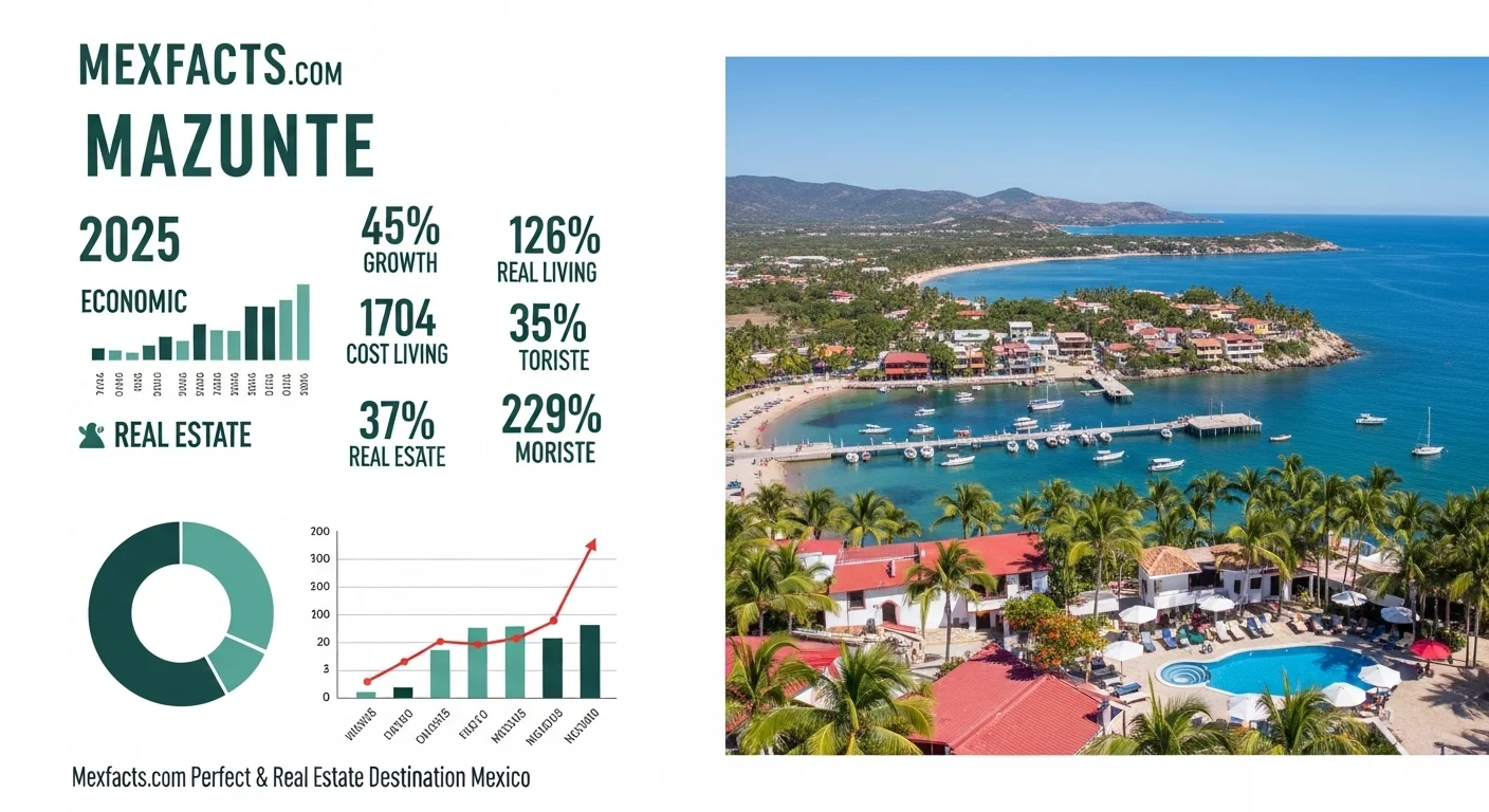
Interest in real estate along the Oaxacan coast has expanded, but purchasing property in Mazunte involves distinct legal hurdles governed by Mexican agrarian law. Unlike urban freehold markets, much of the terrain in Santa María Tonameca is classified as communal land (bienes comunales) or ejido.
Key legal and structural realities include:
- Communal Land Restrictions: Communal land cannot be deeded via regular private titles (escrituras públicas) without complex, often unavailable regularization procedures (dominio pleno). Transactions often involve certificates of possession (actas de posesión), which provide no constitutional protection under Mexico's foreign investment trust (fideicomiso) system within the 50-kilometer coastal restricted zone. Foreign buyers must consult independent Mexican agrarian attorneys before exchanging funds.
- Water and Waste Infrastructure: Mazunte relies heavily on municipal water trucks (pipas) and shallow local wells during dry months. The village lacks an industrial wastewater treatment plant capable of handling massive commercial development, making high-density building ecologically and operationally problematic.
- Digital Connectivity: While standard municipal landline and ADSL infrastructure remains fragile, low-earth-orbit satellite services (such as Starlink) have significantly stabilized remote work capabilities for long-term visitors and digital nomads.
Frequently Asked Questions
- Is Mazunte safe for solo travelers?
- Yes. Mazunte is widely regarded as safe for solo travelers, including solo female visitors. The town's compact footprint and community-focused environment foster a secure atmosphere. Standard travel vigilance—such as not walking unlit cliff trails alone after midnight and watching unattended beach bags—remains recommended.
- Can you swim at Mazunte's beaches?
- Swimmers should exercise extreme caution. Playa Rinconcito offers moderate swimming conditions near the headland during calm tides, but Playa Mermejita has fierce rip currents and heavy shore breaks where swimming is hazardous. Always verify conditions locally before entering the water.
- What is the closest airport to Mazunte?
- Huatulco International Airport (HUX) is the closest commercial airport, located approximately 50 kilometers (about 55 minutes by road) to the east. Puerto Escondido Airport (PXM) is approximately 65 kilometers to the west.
- How do you get from Oaxaca City to Mazunte?
- The fastest route is via the Barranca Larga–Ventanilla toll highway, which links Oaxaca City to the coast in approximately 2.5 to 3 hours by private vehicle or commercial shuttle van, exiting directly near the Mazunte junction.
Expert Reviews
Chloe, Solo Traveler from Canada ⭐⭐⭐⭐⭐
I was a bit nervous about traveling to the Oaxacan coast alone, but this article gave me the confidence to go. It was so honest about safety in Mazunte. The town felt incredibly safe and welcoming, and hiking to Punta Cometa for the sunset was a life-changing experience, just like they said. I felt like part of the community instantly.
Mark T., Real Estate Investor ⭐⭐⭐⭐⭐
This is the most balanced and realistic guide to Mazunte I've read. It doesn't just sell you a dream; it lays out the real opportunities and the challenges, especially regarding the new highway and sustainability. The insights on the real estate market were spot on and helped me frame my investment strategy. Invaluable information.
Sofia and Leo, Digital Nomads ⭐⭐⭐⭐
We used this guide to decide if Mazunte could be our next base. The part about internet connectivity was super helpful! It's true that it can be a challenge, but knowing that beforehand allowed us to find a rental with Starlink. Mazunte is paradise, but you have to be prepared. This article prepared us perfectly. A must-read!