
Mexico's Caribbean and Pacific Coasts: A Travel Comparison

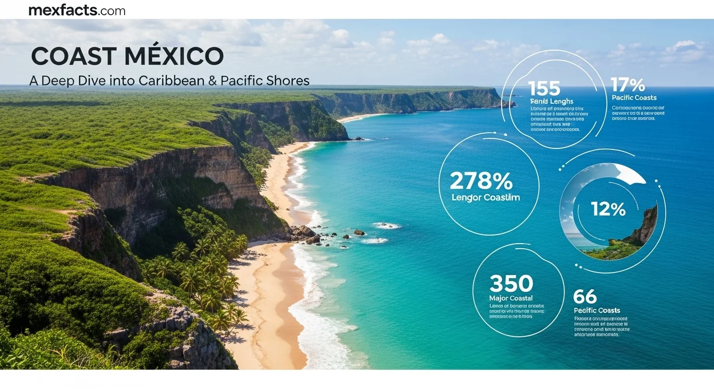
Mexico encompasses over 9,300 kilometers of continental coastline divided across two primary ocean realms: the Caribbean Sea to the east and the Pacific Ocean to the west. While the Mexican Caribbean is celebrated for its calm turquoise waters, white coral sands, barrier reefs, and dense resort infrastructure, the Pacific Coast offers dramatic cliffs, golden beaches, world-class surf breaks, and rich marine biodiversity such as seasonal whale migration. This editorial guide compares both shores across marine conditions, seasonal climate, regional destinations, transport networks, and coastal property regulations to help travelers and prospective residents make an informed decision.
Table of Contents
- Geographic Overview: Caribbean vs. Pacific
- Beaches, Water Conditions, and Marine Environments
- Key Destinations and Travel Styles
- Climate, Seasonality, and When to Visit
- Transport, Gateways, and Regional Logistics
- Coastal Real Estate and the Fideicomiso Framework
- Environmental Conservation and Coastal Realities
- Frequently Asked Questions
Geographic Overview: Caribbean vs. Pacific
Mexico boasts approximately 9,330 kilometers of continental coastline, flanked by the Pacific Ocean to the west and the Gulf of Mexico and Caribbean Sea to the east. For international travelers and investors, the fundamental comparison lies between the Mexican Caribbean—primarily the eastern shoreline of the Yucatan Peninsula in Quintana Roo—and the expansive Pacific Coast, which stretches from the Baja California Peninsula down to the border with Guatemala.
Each coast owes its character to distinct geological and oceanic forces. The Caribbean basin is relatively shallow and warm, sheltered in many stretches by the Mesoamerican Barrier Reef system. In contrast, the Pacific rim features deep ocean trenches, tectonic margins where the Sierra Madre mountain ranges meet the sea, and the sheltered waters of the Sea of Cortez (Gulf of California). Choosing between them depends on whether your priority is tranquil swimming and reef diving, or open-ocean surf, rugged scenery, and coastal exploration.
Beaches, Water Conditions, and Marine Environments
The physical composition of the beaches and the nature of the surf differ sharply between the two coasts:
- The Mexican Caribbean
- Beaches along Quintana Roo consist of fine white sand made primarily of pulverized coral and limestone. Because limestone does not retain heat like quartz sand, it stays relatively cool under the midday sun. The water is famously clear with vibrant turquoise shades, and wave action is generally mild along protected stretches, making it well-suited for families, snorkelers, and swimmers. However, Caribbean waters are subject to seasonal sargassum seaweed arrivals, particularly during warmer spring and summer months.
- The Pacific Coast
- Pacific beaches feature golden, tan, or darker volcanic sands composed of mineral quartz and volcanic rock. Water temperatures vary substantially: the Pacific side of Baja California can be brisk, while waters warm significantly further south in Jalisco, Nayarit, and Oaxaca. Ocean swells are significantly more powerful, producing world-class surfing breaks in spots like Puerto Escondido and Sayulita, but also dangerous undertows and shorebreaks on open-ocean beaches. Calm swimming on the Pacific is typically confined to protected natural bays, such as Banderas Bay, Huatulco's sheltered coves, or the inner shores of the Sea of Cortez.
Key Destinations and Travel Styles
Both coastlines host globally recognized resort corridors alongside independent beach towns, yet their atmospheres and cultural rhythms cater to different travel styles.
The Caribbean: High-Density Hospitality and Mayan Heritage
The corridor stretching from Cancún down through the Riviera Maya and Tulum represents Mexico's most developed tourism infrastructure. Travelers will find extensive clusters of luxury all-inclusive resorts, bustling pedestrian corridors like Fifth Avenue in Playa del Carmen, and secluded offshore escapes like an Isla Mujeres vacation or Cozumel. Beyond the beachfront, the region offers freshwater cenote systems, extensive subterranean rivers, and major archaeological landmarks such as Cobá and Tulum overlooking the water.
The Pacific: Rugged Scenery, Colonial Heritage, and Surf Culture
The Pacific side provides a more decentralized collection of destinations, each shaped by its regional geography. At the tip of Baja California, Los Cabos pairs desert mountains with upscale resort architecture and deep-sea angling. Further south, Puerto Vallarta blends traditional Jalisco architecture and cobblestone streets with ocean views. North of Puerto Vallarta lies the lush coast of Nayarit, known for bohemian surf communities like Sayulita and San Pancho. In Sinaloa, our Mazatlan Mexico guide highlights a working seaport featuring a historic 19th-century centro histórico and miles of golden malecon. Further down the coast, Oaxaca's shoreline offers dramatic cliffs, protected bays in Huatulco, and legendary big-wave breaks in Puerto Escondido.
Climate, Seasonality, and When to Visit
Both coasts enjoy tropical and subtropical weather patterns with distinct wet and dry seasons, but seasonal nuances strongly impact travel logistics, ocean conditions, and wildlife sightings.
The Dry Season (December through April)
This period constitutes peak season across both coastlines. Rainfall is rare, relative humidity drops, and daytime temperatures remain comfortably between 26°C and 30°C (79°F to 86°F). Hotel demand is highest during these months, particularly around Christmas, New Year, and Easter (Semana Santa). On the Pacific, this window coincides with the arrival of thousands of migrating humpback and gray whales in Banderas Bay, Magdalena Bay, and the waters around Cabo San Lucas.
The Rainy and Green Season (May through October)
Summer brings warmer temperatures, higher humidity, and afternoon or evening convective rain showers. While tropical downpours can be intense, they are frequently brief, allowing for plenty of daytime sunshine. This season offers lower accommodation rates, fewer crowds, and vibrant green landscapes across the coastal sierras. It is also prime season for southern ocean swells, making it the favored period for advanced surfers visiting Pacific breaks.
Tropical Storms, Hurricanes, and Sargassum Realities
Understanding storm tracks and seasonal phenomena helps prevent disrupted travel plans:
- Atlantic and Caribbean Hurricane Season: Officially runs from June 1 through November 30, with peak activity historically observed between mid-August and late October. Modern tracking provides days of advance warning, but trip insurance is recommended for late-summer Caribbean departures.
- Eastern Pacific Hurricane Season: Officially spans May 15 through November 30, peaking between July and October. Storms often track parallel to the coast, creating heavy surf and squalls even when staying offshore.
- Sargassum Seaweed: Naturally occurring pelagic macroalgae tends to accumulate along exposed Caribbean beaches primarily during late spring and summer months. Leeward shores (such as the western coast of Cozumel or Isla Mujeres) and beaches with natural offshore barriers remain largely protected.
Transport, Gateways, and Regional Logistics
Accessibility and on-the-ground mobility represent a decisive factor when choosing between Mexico's coastlines.
Caribbean Corridors and Rail Connectivity
The Mexican Caribbean is served primarily by Cancún International Airport (CUN), Mexico's busiest hub for international arrivals, offering direct flights from dozens of North American, South American, and European gateways. The opening of Felipe Carrillo Puerto International Airport (TQO) in Tulum has created secondary direct access to the southern Riviera Maya. Terrestrial transport is organized along the modern Federal Highway 307 corridor and supplemented by first-class ADO bus routes. The 1,554-kilometer Tren Maya railway network connects airport hubs with inland colonial cities and archaeological sites throughout Yucatan state, Campeche, Tabasco, and Chiapas.
Pacific Gateways and Regional Mobility
Pacific destinations are served by specialized international gateways: Los Cabos (SJD), Puerto Vallarta (PVR), Mazatlán (MZT), Huatulco (HUX), and Puerto Escondido (PXM). While Pacific hubs are well-connected to major North American airports, travel between distinct Pacific coastal regions often requires traversing mountainous terrain or booking connecting flights through Mexico City or Guadalajara. Renting a vehicle is advantageous for travelers exploring smaller surf enclaves along Nayarit's coast or Oaxaca's southern bays.
Coastal Real Estate and the Fideicomiso Framework
Beyond vacation travel, Mexico's coastlines attract significant international interest from retirees, remote professionals, and property investors. Navigating the legal landscape requires understanding Mexico's constitutional property statutes.
The Constitutional Restricted Zone (Article 27)
Article 27 of the Mexican Constitution establishes a 'Restricted Zone' (Zona Restringida) encompassing all land within 50 kilometers (approximately 31 miles) of the coastline and 100 kilometers of Mexico's international land borders. Non-Mexican citizens cannot hold direct deed title to residential real estate within this boundary in their personal names.
The Bank Trust (Fideicomiso) Mechanism
To facilitate foreign residential ownership, Mexican law provides for the fideicomiso, a legal bank trust authorized by the Ministry of Foreign Affairs (SRE). Under this structure:
- A licensed Mexican financial institution holds legal title as trustee.
- The foreign purchaser is designated as the primary beneficiary, retaining all equitable rights to occupy, lease, remodel, sell, or bequeath the property to named beneficiaries.
- Trusts are issued for 50-year terms and are renewable in perpetuity by right.
- Commercial ventures can alternatively purchase property directly through a registered Mexican corporation, subject to foreign investment rules.
Prospective buyers should budget for closing costs (typically 4% to 8% of the purchase price, covering notary fees, trust establishment, and acquisition taxes) and understand applicable Capital Gains Tax (Impuesto Sobre la Renta, or ISR) obligations upon eventual resale.
Environmental Conservation and Coastal Realities
Both coastlines face significant environmental pressures driven by climate change and urban development. In the Caribbean, the health of the Mesoamerican Reef requires rigorous wastewater treatment, coral nursery programs, and local bans on non-biodegradable sunscreens in protected reserves. Along the Pacific, marine preservation focuses on seasonal turtle nesting sanctuaries, regulated whale observation corridors, and preserving fragile mangrove estuaries from overdevelopment. Supporting verified eco-certified tour operators and respecting municipal coastal guidelines ensures these marine ecosystems remain resilient for future generations.
Frequently Asked Questions
- Which coast is better for swimming and young children?
- The Mexican Caribbean generally offers calmer, shallower, and warmer waters with minimal undertow, sheltered by offshore reefs and islands. On the Pacific, calm swimming is largely restricted to protected bays (such as Banderas Bay or Huatulco), as open Pacific beaches frequently experience heavy surf and strong currents.
- Which coast is superior for surfing and marine wildlife watching?
- The Pacific Coast is the undisputed choice for surfing, boasting world-class beach breaks and point breaks from Baja California down to Oaxaca. The Pacific also offers premier seasonal whale watching between December and March, when humpback, gray, and blue whales migrate to Mexican waters.
- How does flight accessibility compare between the two regions?
- The Caribbean is anchored by Cancún (CUN) and Tulum (TQO), which offer the highest frequency of direct international non-stop flights from across North America and Europe. The Pacific features multiple convenient international gateways (Los Cabos, Puerto Vallarta, Mazatlán), but travel between different Pacific coastal towns often requires driving mountainous highways or connecting through domestic hubs.
- When is hurricane season along each coastline?
- The official Atlantic and Caribbean hurricane season spans June 1 to November 30, with peak activity typically occurring from mid-August through October. The Eastern Pacific hurricane season runs from May 15 to November 30, peaking between July and October.
- Can foreigners legally purchase residential property on the coast?
- Yes. While foreign nationals cannot hold direct fee-simple title within the 50-kilometer coastal Restricted Zone under Article 27 of the Mexican Constitution, they can legally acquire all beneficiary ownership rights through a 50-year renewable bank trust (fideicomiso) or via a Mexican corporation for commercial properties.
Expert Reviews
Sarah and Tom P., Travelers ⭐⭐⭐⭐⭐
My husband and I were torn between the Riviera Maya and Puerto Vallarta for our anniversary. This article was a lifesaver! It didn't just list facts; it described the *feeling* of each coast. We chose the Pacific and the advice about the whale watching season was spot on. It made our trip unforgettable. Thank you!
Michael Chen, Real Estate Investor ⭐⭐⭐⭐⭐
I've been looking into real estate in Mexico, and the information overload is real. This breakdown of the 'fideicomiso' was the clearest I've seen. The insights on emerging markets like the coast of Oaxaca gave me a new direction for my research. Incredibly valuable.
Isabella Garcia, University Student ⭐⭐⭐⭐
I'm studying Latin American economics, and this piece connected the dots between tourism statistics and real-life cultural impact. The explanation of how the Tren Maya could change the Yucatan was fascinating. It’s more than just numbers; it’s about people and the future.